
Limitation areas to navigate with confidence
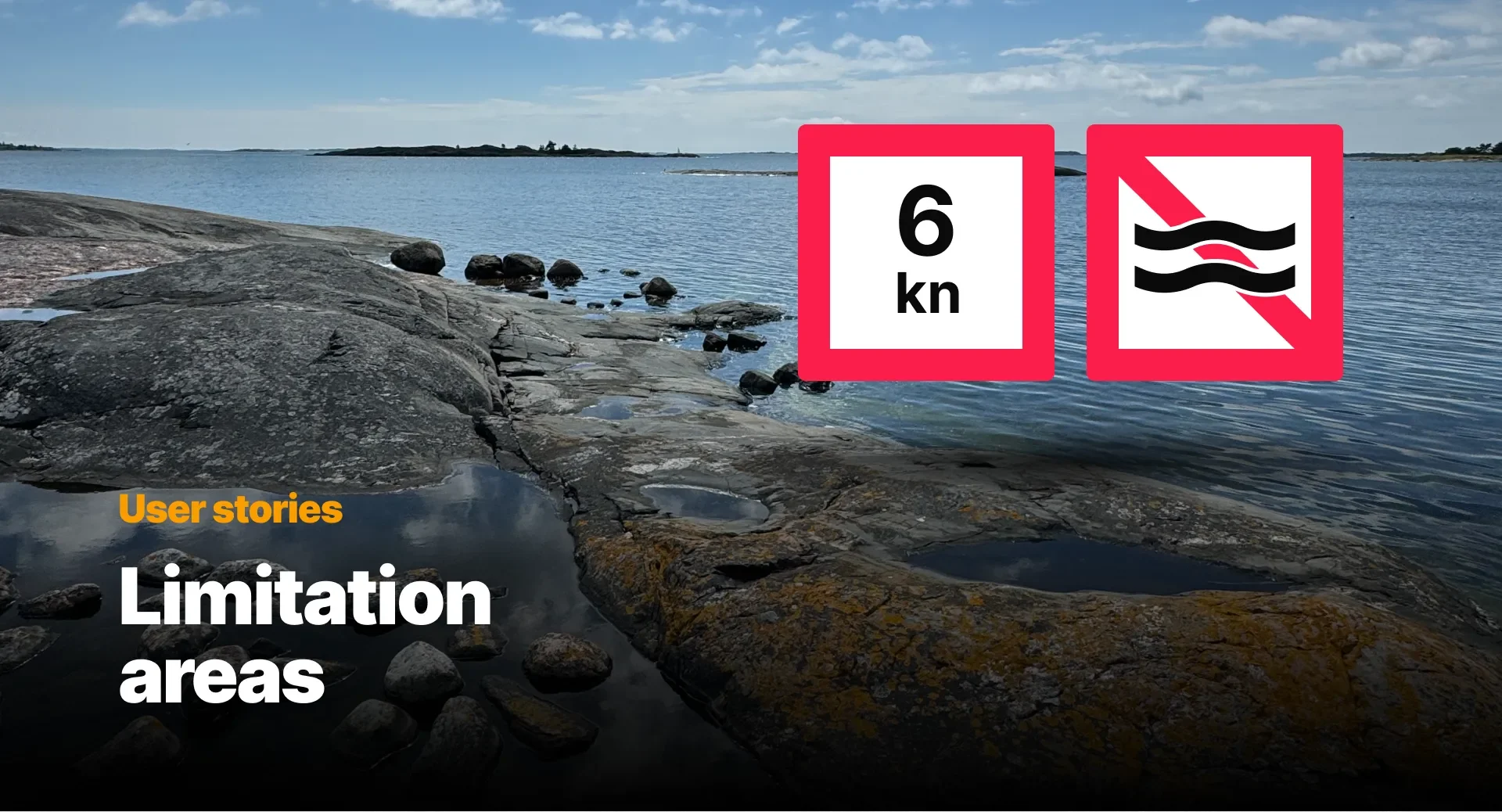
During the past ten years, Q has grown enormously. New features, integrations, capabilities, and entirely new products have been added one by one, each driven by real needs on the water. And it has never stopped evolving.
Every feature added along the way has come from somewhere real. User feedback and ongoing conversations with boat manufacturers have always shaped where the product goes next. And most of the people building Q are keen boaters themselves, sharing the same joys and frustrations on the water as everyone else.
Behind each feature, there is a story. This one is about limitation areas and how a real problem in the Finnish archipelago led to something that had never been done in recreational boating before.
Built for the most complex navigation
Finland's southwestern archipelago, which is home to Q, is the world's largest, with more than 50,000 islands scattered across the sea. Shallow passages, countless submerged rocks, and a coastline so fragmented that most boaters spend a lifetime mastering only their own local waters. The country's coastline has around 19,500 kilometres of charted fairways marked by over 33,000 aids to navigation: lighthouses, buoys, and markers that make Finnish waters among the most densely marked in the world.
Waters these complex demand rules. Woven through the archipelago is a layer of speed limits, protected zones, and restricted areas that exist to keep navigation safe for everyone. They vary by location and regulation, are genuinely difficult to track, and easy to breach without realising it.
When new boaters met complex waters
These same complex waters were becoming the playground for a growing number of first-time boaters. A Finnish boat-sharing service was bringing an entirely new group of people to the water: people who had never owned a boat, navigating unfamiliar waters for the first time. With over 180 boats with Q Displays across 15 cities and 30 harbours, the service made boating accessible to anyone willing to pay a monthly fee.
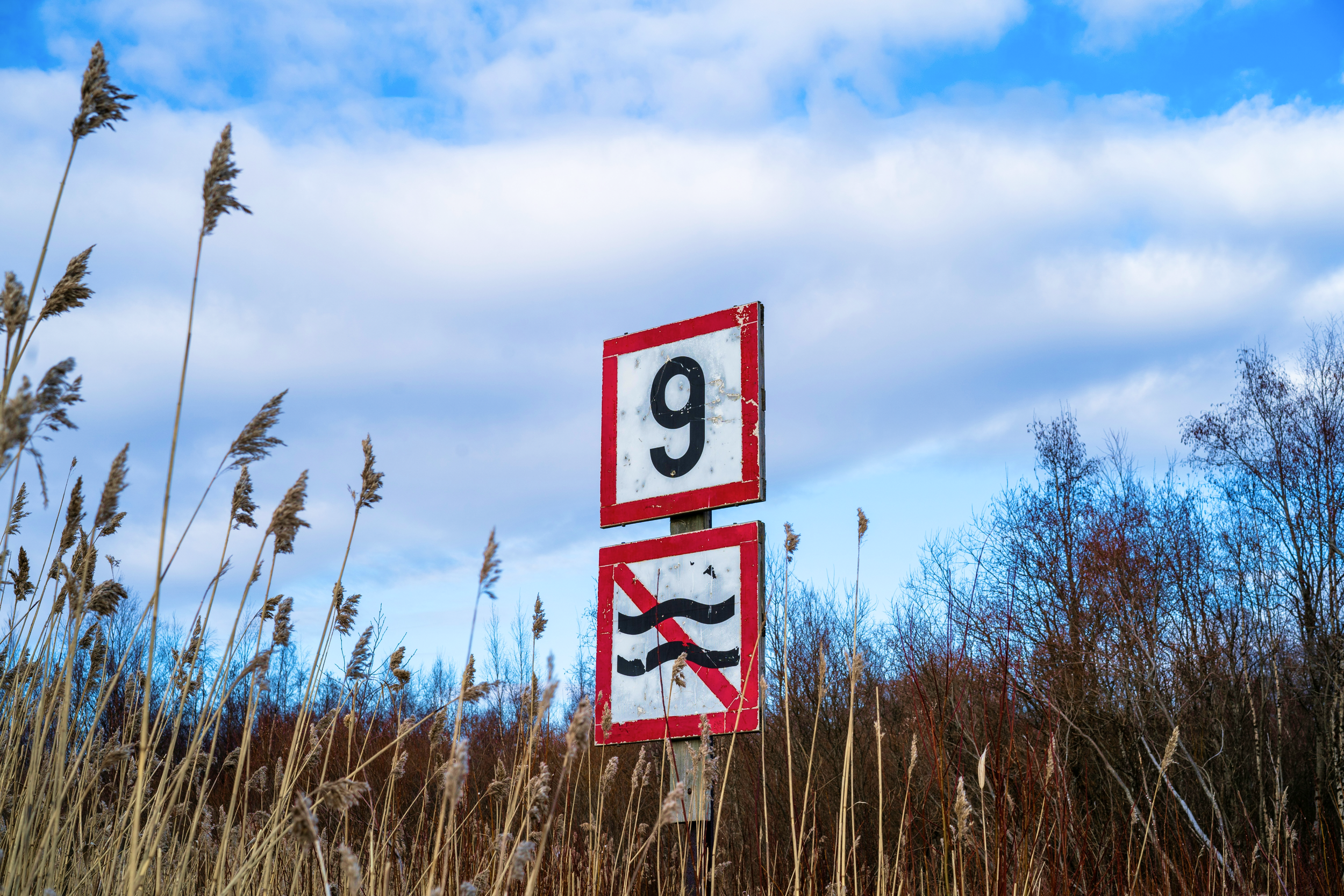
But the archipelago does not forgive unfamiliarity. Restriction markers are easy to miss. Zone boundaries have no clear start or end on the water. Speed limits change without obvious signage. The marine police reached out to the service with a concern: boating fines had risen noticeably, and their customers were disproportionately represented.
It was not a problem of attitude. It was a problem of knowledge and visibility.
Bringing restrictions to the chart
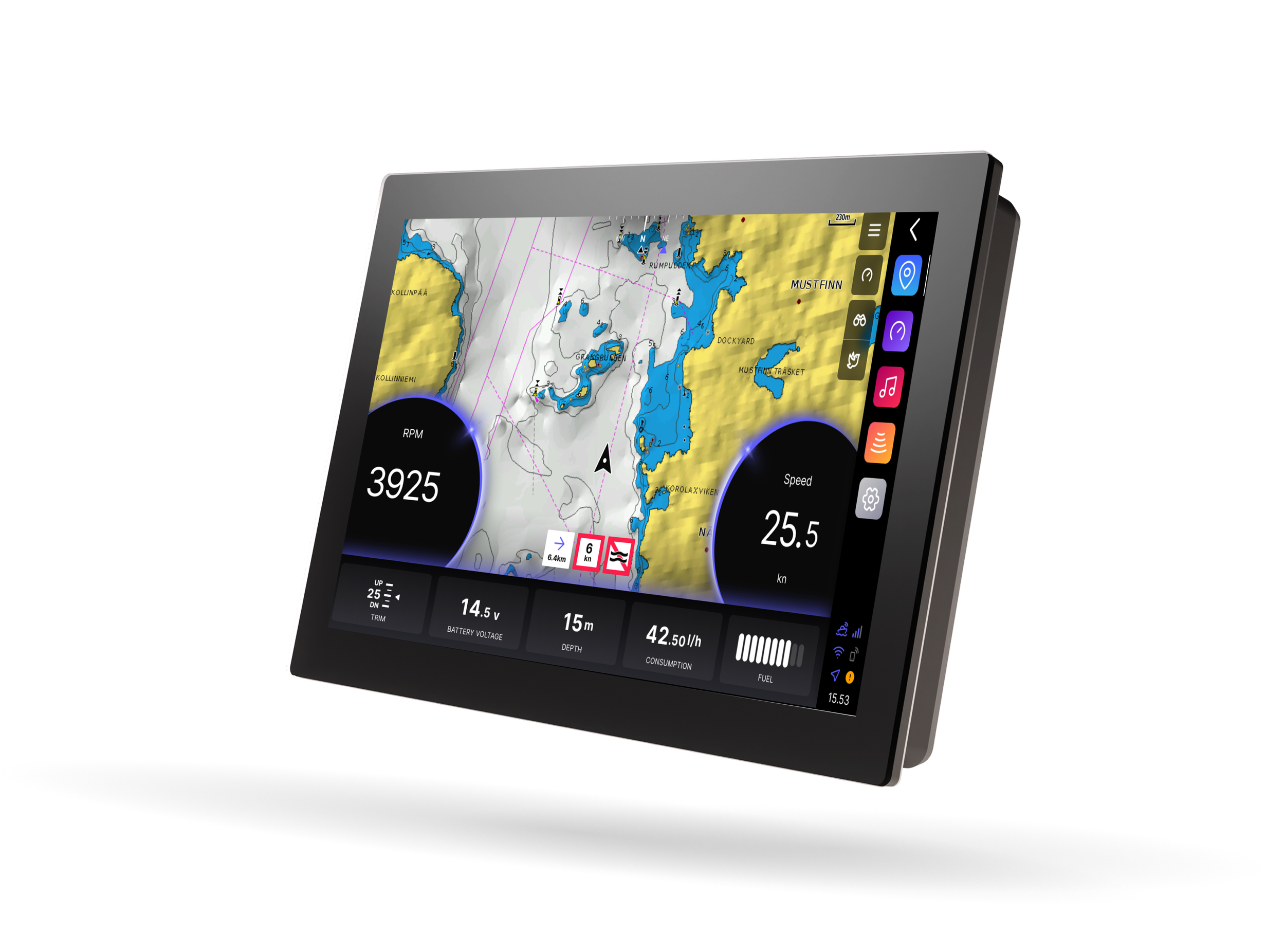
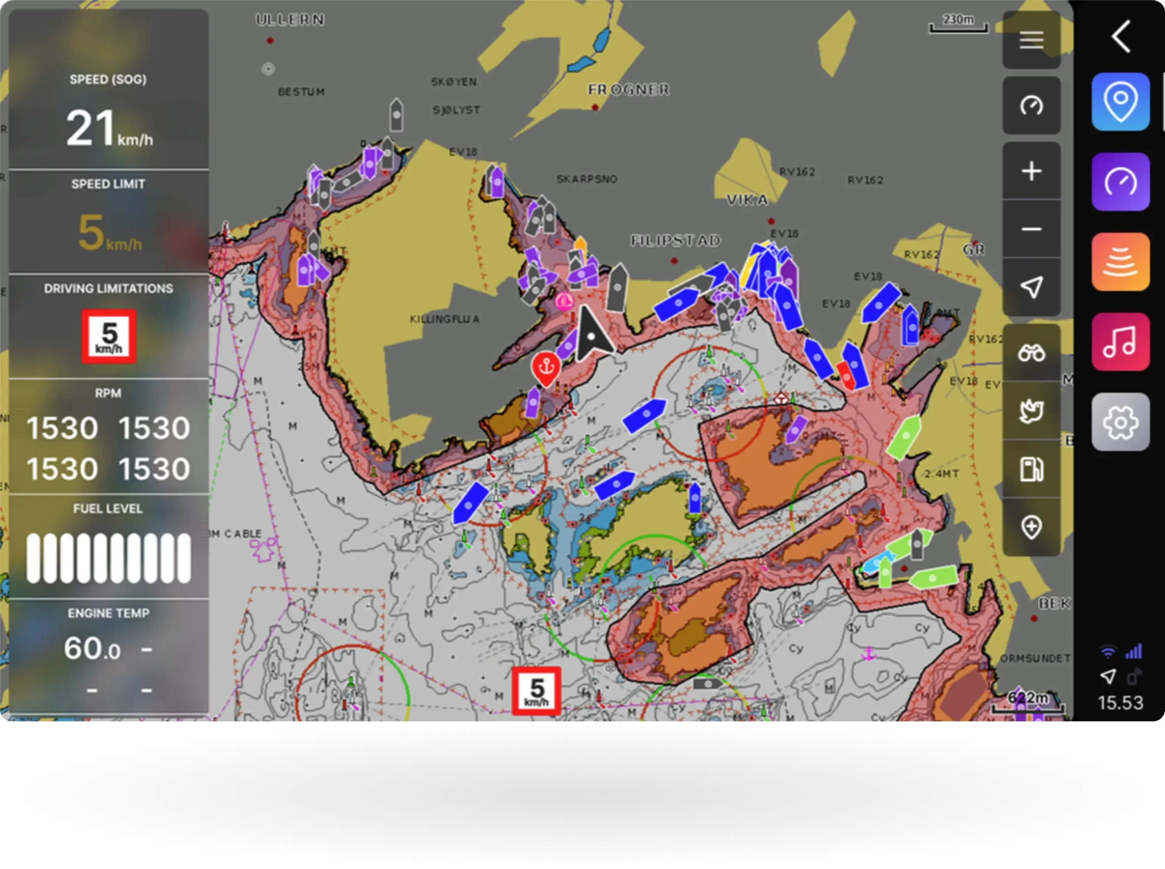
Working together, Q and the boat sharing service integrated official speed limits and restriction zones directly into Q Display: the first time this had been done in the recreational boating market. Q's connected architecture made it possible to move fast, and the result was something boaters could actually use in the moment.
When you approach a restricted area, a warning indicator flashes on your Q Display. Tap it, and the chart zooms out to show the full restriction zone highlighted in red. No guesswork about where it starts or ends. No uncertainty about what the limit is.
Real-time, every time
Some chart plotters have since followed with limitation areas data of their own, but there is a fundamental difference in how that data is delivered. Without the unique always-on connectivity of Q, others rely on chart card updates. When a new zone is added or a temporary restriction comes into effect, that information only reaches the boater when the card is next refreshed, which may be months or years later.
Q pulls restriction data in real time from official databases over its connected infrastructure. What is on your screen reflects the current situation, not a snapshot from history. Q remains the only chartplotter that does this.
Still growing
Limitation areas are available today as part of Q Connected, covering Finnish and Norwegian waters. Ten years in, the feature that started with a conversation between a boat-sharing service and Q is still evolving. New areas, updated data, and a product team that takes calls from boaters seriously. That is how Q has always worked. Someone has a real problem on the water, Q team listens, and a solution gets built.
Q Connected brings limitation areas to your chart, along with everything else that keeps you informed and in control on the water. If you have not done it yet, there has never been a better time to activate Q Connected.
